Day Nine … Goodbye Stewart Island as we head to Fiordland
Our day started early with breakfast at 7.00 am in order for us to be able to catch the 8.00 am ferry back to Bluff on the South Island . Thankfully the weather was kind today and the Foveaux Strait lovely and calm, making the ferry crossing very enjoyable. This time no one was ill and we had a chance to chat to the crew about the rough sea and how it affects people.


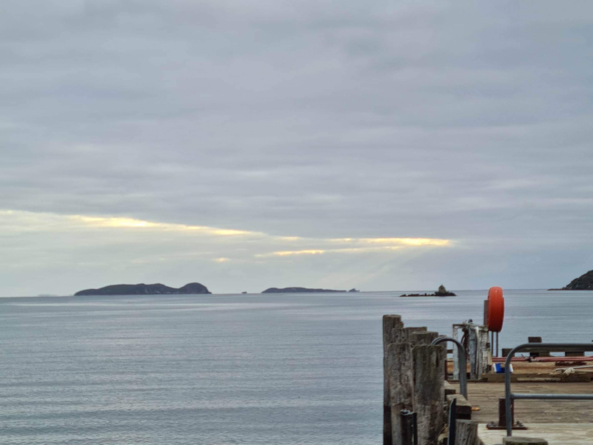

Arriving back at Bluff Rich took us for a drive out to Stirling Point which is the southernmost part of Highway One. We were able to look at the signpost pointing to Cape Reinga which is the northernmost part of the Highway … so we have been from the top to the bottom. There is also a lighthouse located there … short and squat.


Our drive to our next hiking spot took us back through Invercargill, and on to a small town call Mosburn where we stopped for morning tea. Quite a few of us had had a little snooze on the bus ride (thankfully not Rich). The cafe at Mosburn was called Bracken Hall and is a restored hall turned into a cafe and gift shop. The coffee and muffin were delicious and we all grabbed some lunch to have later on our walk. (The cafe is for sale if anyone is interested … NZ$395,000). Ian and I grabbed a couple of geocaches whilst we were there.


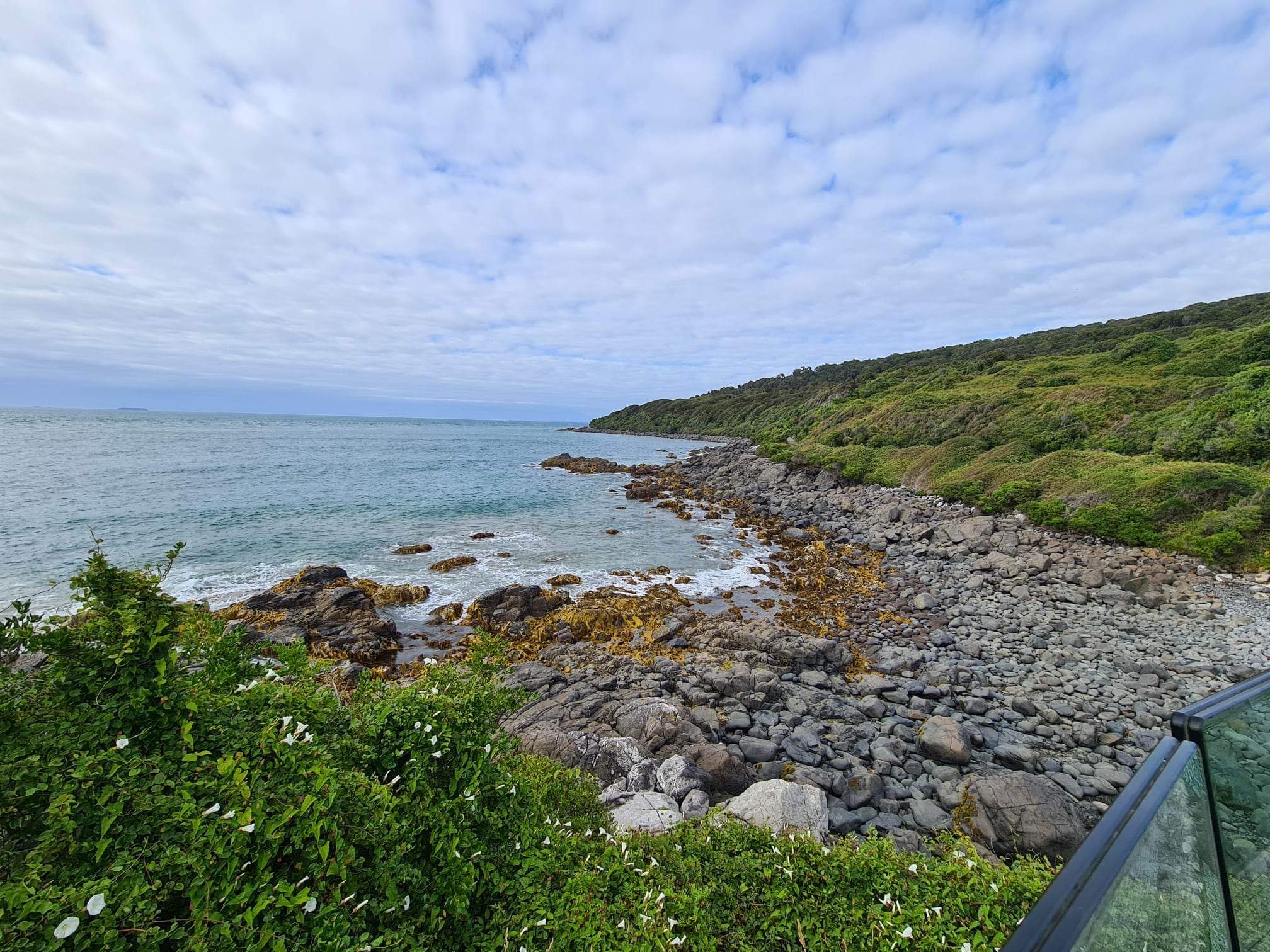
We then headed on to the Rainbow Reach Suspension Bridge which was the start of our hike on the Kepler Track. The full loop track is over 60 kms long however we only completed one section of it … from Rainbow Reach to the Kepler Control Gates which was about 9.5 km in length.


The track was beautiful, following on along beside the Waiau River. We were surrounded by a native beech forest, with ferns, moss and lichen in abundance. The terrain was quite easy, with gentle undulating hills. The path was soft with a covering of leaves making it quite spongy underfoot. At one point however we opened out to a rough stone path surrounded by dry grasses before we re-entered the forest. Occasionally we would rise high above the river and at other times we were close enough to be able to hear the roar of the water tumbling over the rocks.


Rich walked us in to get us started and then left us on our own to continue walking as he headed back to our bus to move our pick up point at the end of the track. He walked in from the other end to meet us. The path was so well marked that at no point were you worried you had wandered off in a wrong direction. The group of six stopped to eat lunch, take photos (okay that was mainly me and Paul), enjoy the view, watch the birds and listen to the silence of the forest.
Rich joined us from the other direction with 2 km left on our walk so we all travelled on towards the Kepler Control Gates which they use to control the amount of water flowing down the river to Lake Manapouri.
We then headed to our lovely accomodation, checked in and whilst Ian went off to watch a short film on the area I soothed my muscles in the lovely spa bath using the salts to ease my sore muscles.
Finally dinner at a lovely buffet restaurant with the group, a briefing about what happens on the next 2 days and then a leisurely walk back to our room. Now to pack in readiness for the Hollyford Track experience.


Today’s tally …
Photos … 185
Steps walked … 19,842
Kms walked … 15.5 km
Ad labs … 0
Geocaches … 2
Next track walked … Kepler
I'm a couple days behind!! I need to catch up! I always thought Ad Labs were an Aussie Geocache so now I'm lost! LOL
ReplyDelete